ùmap: The Ultimate Guide to Understanding and Using It
Introduction
In today’s digital age, navigating the complexities of geographic data and spatial visualization has become a breeze, thanks to tools like ùmap. But what exactly is ùmap, and why should you care? Let’s dive in and explore this fantastic tool that’s revolutionizing the way we create and share maps.
What is ùmap?
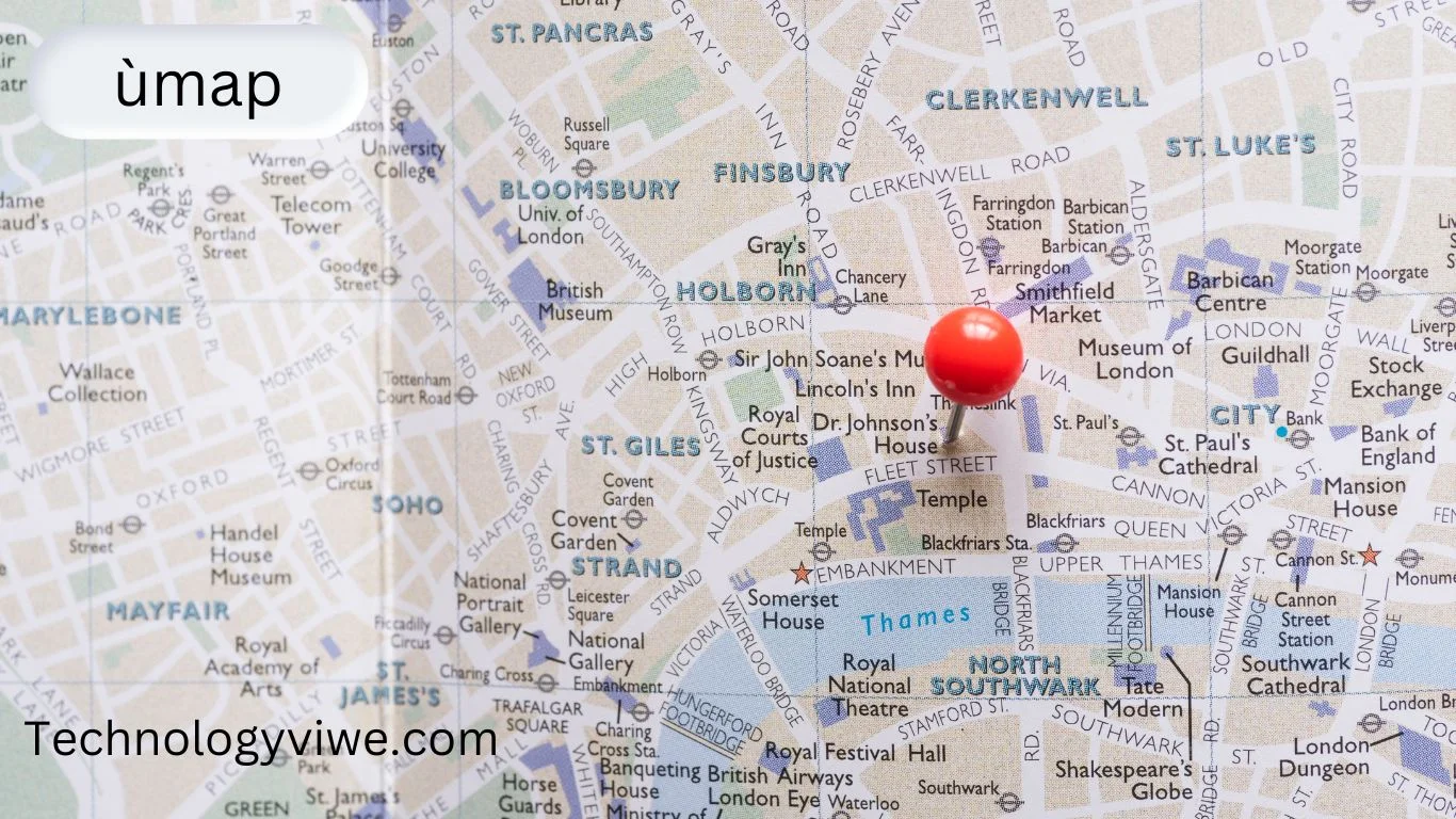
ùmap is an innovative, open-source mapping tool that allows users to create and share custom maps with ease. Whether you’re a professional cartographer or a hobbyist, ùmap provides a user-friendly platform to visualize geographic information. It’s not just about placing pins on a map; it’s about creating a narrative, telling a story, and engaging your audience with interactive elements.
The Origins of ùmap
Developed by passionate cartographers and developers, ùmap was born out of the need for a more accessible and flexible mapping tool. Traditional GIS (Geographic Information Systems) tools can be complex and expensive, creating a barrier for many users. ùmap breaks down these barriers, offering a free and straightforward solution for everyone.
Why ùmap is Important
In an era where data is king, visualizing this data effectively is crucial. ùmap helps bridge the gap between raw data and user-friendly visualization, making it easier to understand and communicate spatial information. It’s a powerful tool for educators, business analysts, travelers, and anyone needing to represent data on a map.
Core Features of ùmap
ùmap is packed with features designed to make map creation simple and effective. Some of the core features include:
- Customizable Layers: Add different data layers to your map to represent various datasets.
- Interactive Elements: Embed videos, images, and text within your maps.
- Collaboration Tools: Share your maps with others and collaborate in real-time.
- Integration Capabilities: Integrate with other tools and platforms to enhance functionality.
How to Use ùmap
Getting Started with ùmap
Ready to create your first map? Head over to the ùmap website and sign up for an account. The process is straightforward and takes just a few minutes. Once you’re in, you’ll be greeted by a clean and intuitive interface that makes navigation a breeze.
Navigating the Interface
The ùmap interface is designed with simplicity in mind. On the left, you have your main menu where you can access different tools and features. The central workspace is where your map takes shape, and on the right, you have options for customizing your map’s appearance and functionality.
Setting Up Your First Map
Creating your first map is easy. Click on the “Create a New Map” button, give your map a title, and start adding layers. You can import data from various sources or create your own layers from scratch. Customize each layer with different colors, icons, and interactive elements to make your map unique.
Advanced Features of ùmap
Once you’ve mastered the basics, it’s time to explore the advanced features of ùmap.
Customizing Your Maps
ùmap allows for extensive customization. Change the background, adjust the visibility of layers, and add custom icons to make your map stand out. You can also use CSS to further style your map if you have some coding knowledge.
Integrating ùmap with Other Tools
One of the strengths of ùmap is its ability to integrate with other tools. Whether you want to pull data from a spreadsheet, connect with a GPS device, or embed your map on a website, ùmap makes it possible. These integrations enhance the functionality and reach of your maps.
Sharing and Collaboration
Sharing your map is as simple as clicking a button. You can share a direct link, embed the map on a webpage, or collaborate with others in real-time. This makes ùmap a fantastic tool for team projects, educational purposes, or community initiatives.
Use Cases for ùmap
Education
Educators can use ùmap to create interactive lessons, geographical quizzes, and more. It’s an excellent way to engage students and make learning about geography fun and interactive.
Business
Businesses can leverage ùmap for data visualization, logistics planning, and market analysis. It helps in making informed decisions by providing a clear visual representation of data.
Travel
Travel enthusiasts can use ùmap to plan their trips, share itineraries, and document their journeys. It’s a great way to visualize travel plans and share experiences with others.
Personal Projects
From tracking your fitness journey to documenting local wildlife sightings, the possibilities are endless with ùmap. It’s a versatile tool that can be adapted to countless personal projects.
Benefits of Using ùmap
Efficiency
ùmap streamlines the map creation process, saving you time and effort. With its intuitive interface and powerful features, you can create detailed maps quickly and efficiently.
User-Friendly Interface
The user-friendly interface ensures that even those with limited technical knowledge can create professional-looking maps. It’s designed to be accessible to everyone, regardless of their background.
Tips and Tricks for Mastering ùmap
Shortcuts and Hacks
To become a ùmap pro, take advantage of keyboard shortcuts and hidden features. These little hacks can save you time and make your mapping experience even smoother.
Common Mistakes to Avoid
Avoid common pitfalls like cluttering your map with too many layers or neglecting to test interactive elements. Keep your maps clean, clear, and user-friendly.
Future of ùmap
Upcoming Features
The ùmap team is constantly working on new features and improvements. Keep an eye out for updates that bring even more functionality and customization options to the platform.
Community and Support
ùmap has a vibrant community of users and developers. If you ever run into issues or need inspiration, the community and support resources are there to help.
Conclusion
ùmap is a powerful, versatile tool that makes map creation accessible to everyone. Whether you’re using it for education, business, travel, or personal projects, it offers a wealth of features to bring your geographic data to life. Start exploring ùmap today and see how it can transform the way you visualize and share spatial information.


Post Comment